Monte Velo - Passo Santa Barbara - Bordala - Mori
Race cycling • Garda Trentino and Valle di Ledro
Monte Velo - Passo Santa Barbara - Bordala - Mori
<p>An itinerary with a medium level of difficulty, centred on the climb up Mount Velo. Return towards the lake through the pretty Vallagarina.</p>
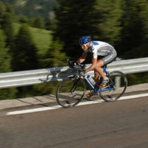
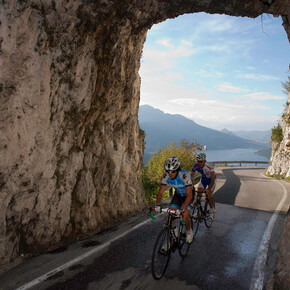
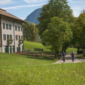
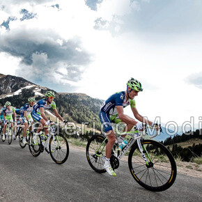
<p>Classed as one of the "<strong>Great climbs of Trentino</strong>", Mount Velo is a must for all cycling enthusiasts, especially the gradient mad. It stretches for almost 13 kilometres mostly in the shade, to reach the Santa Barbara Pass at an altitude of 1170 metres.</p> <p>This route is a <strong>pleasant alternative</strong> to the classic Mount Velo - Loppio loop. In fact, those with any energy left at the end can also tackle the additional short climb to the Bordala Pass. The next long descent takes us into the Vallagarina Valley, renowned for its vineyards.</p> <p>From a technical standpoint, the climb has a very constant gradient of around 8.5%, with a few short sections exceeding 12%. The descent is very pleasant, as the roadway is ultra-wide and the traffic extremely quiet.</p> <p>Here it won’t take us long to drain our water bottles, especially in the summertime. No problem: there are fountains in the middle and on the top of the Velo climb.</p>
Monte Velo - Passo Santa Barbara - Bordala - Mori

Garda Trentino Verified partner
An itinerary with a medium level of difficulty, centred on the climb up Mount Velo. Return towards the lake through the pretty Vallagarina.
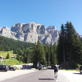
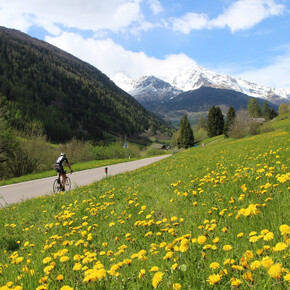
Classed as one of the "Great climbs of Trentino", Mount Velo is a must for all cycling enthusiasts, especially the gradient mad. It stretches for almost 13 kilometres mostly in the shade, to reach the Santa Barbara Pass at an altitude of 1170 metres.
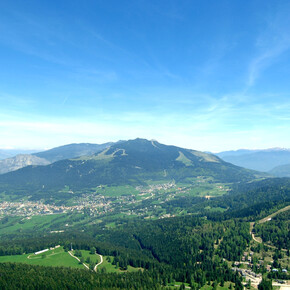
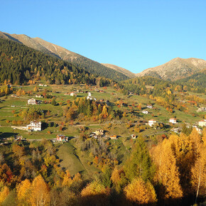
This route is a pleasant alternative to the classic Mount Velo - Loppio loop. In fact, those with any energy left at the end can also tackle the additional short climb to the Bordala Pass. The next long descent takes us into the Vallagarina Valley, renowned for its vineyards.
From a technical standpoint, the climb has a very constant gradient of around 8.5%, with a few short sections exceeding 12%. The descent is very pleasant, as the roadway is ultra-wide and the traffic extremely quiet.
Here it won’t take us long to drain our water bottles, especially in the summertime. No problem: there are fountains in the middle and on the top of the Velo climb.
Author’s recommendation
Here it won’t take us long to drain our water bottles, especially in the summertime. No problem: there are fountains in the middle and on the top of the Velo climb.
Garda Trentino Verified partner
Derived from the technical difficulty and the stamina requirements.
Track types
Safety information
- Give your bike a regular checkup, especially if you've had it for years.
- Be seen: you must wear a high vis jacket (or sash) in tunnels and on country roads after sunset.
- Always wear your helmet.
- Make sure your front and rear lights are working.
- Put out your arm to give advance warning of your intention to change position and before you do anything, check there are no vehicles coming up behind you.
- Don't use headphones or your mobile phone handsfree kit: you need all your concentration on the road!
- Obey the road signs: stop at traffic lights and don't ride on the wrong side of the road.
- If you are cycling in a group, always go in single file.
- You've got a bell: use it to let pedestrians know you're there. Don't ride on footpaths. If you have to then get off and push your bike.
- If there are cycle paths use them. It's your safety that's at stake and the rules of the road say you must.
Tips and suggestions
From epic climbs to fast descents, every detail matters. Ride worry-free with help from our road cycling specialists: rentals, mechanics and guides who speak your language – the language of smooth tarmac and two wheels.Public transport
Public-transport-friendly
The towns in Garda Trentino - Riva del Garda, Torbole sul Garda and Arco – are connected by several urban and intercity bus lines which will take you to the starting point or in the immediate surroundings.
For up-to-the-minute information on timetables and routes
You can also get to Riva del Garda and Torbole sul Garda by the public ferry service.
Get Timetable to destination
Directions
Find out how to reach Garda Trentino
Parking
Free parking in Caneve (5 min. walk from the town centre).
More Pay parking: Foro Boario parking, via Caproni Maini (Car park near the bridge), Post office (Via Monache).
Coordinates
Author’s map recommendations
- Garda Trentino BIKE Map- Available in information offices in Riva del Garda, Arco and Torbole, Ledro and Comano.
Equipment
Riding your bike requires specific clothing and equipment, even for relatively short and easy trips. It is always better to be prepared… e.g. for bad weather or a drop your energy levels. The unexpected things also make up a part of the fun!
Do not compare a road bike with a mountain bike. They are very different, especially in technical terms, and facing a hill with a road bike could be much more difficult than facing the same hill with a MTB. Therefore, remember to throughly evaluate the type of route you plan to do and the locations you plan to cross. Do not forget to consider the current season. Has it been raining? Attention: the paint of the crosswalk could be very slick.
What do I need to bring on my bike tour?
- Bike helmet
- Bike gloves
- Bike glasses
- Waterproof/Windproof jacket
- Headlights and rearlights
- Reflecting suspenders
- Plenty of snacks (for example, dried fruit or energy bars)
- Water Bottle
- Bike repair kit (tire levers, mini bike pump, bike tube)
It is always advised to let someone know where you plan to go and how long you expect to be.
Emergency telephone number 112.
Derived from the technical difficulty and the stamina requirements.


