Olympics 2026

Milano Cortina - Offical Partner for Olympics and Paralympics 2026

Panarotta

Race cycling • Valsugana, Lagorai, Vigolana and Valle dei Mocheni

Race cycling recommended route

Panarotta

Race cycling · Valsugana, Lagorai, Tesino
Responsible for this content
VisitTrentino Verified partner 
  • Panarotta
    Panarotta
    Photo: VisitTrentino
Map / Panarotta

Selected alternatives for you
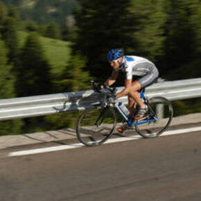
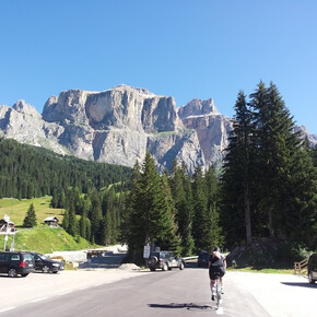
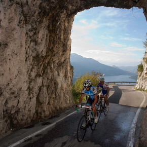
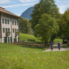
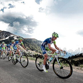
    In 2006 this climb was twinned with the Alpe d'Huez, the legendary climb of the Tour de France. The two in fact share similar features, although Panarotta is slightly longer. It is a stern test for the most experienced cycling enthusiasts who gage their condition on these slopes by fighting against the stopwatch. It is a very popular climb on hot summer days, when the forest’s leafy branches provide shade to the road.
    moderate
    Distance 14.8 km
    3:05 h
    1,499 m
    272 m
    1,781 m
    539 m
    Profile picture of VisitTrentino
    Author
    VisitTrentino
    Responsible for this content
    VisitTrentino  Verified partner 
    Difficulty
    moderate
    Overall difficulty
    moderate

    Derived from the technical difficulty and the stamina requirements.

    Experience
    Landscape
    Highest point
    1,781 m
    Lowest point
    539 m
    Best time of year
    Jan
    Feb
    Mar
    Apr
    May
    Jun
    Jul
    Aug
    Sep
    Oct
    Nov
    Dec

    Track types

    Show elevation profile

    Safety information

    Please note that the practicability of the itineraries in a mountain environment is strictly linked to the contingent conditions and is therefore influenced by natural phenomena, environmental changes and weather conditions. For this reason, the information contained in this page may have changed. Before leaving for a tour, make sure the path you will approach is still accessible by contacting the owner of the mountain hut, the alpine guides or the visitor centres of the nature parks, the info offices of the local tourist board.

    Coordinates

    DD
    46.049570, 11.253510
    DMS
    46°02'58.5"N 11°15'12.6"E
    UTM
    32T 674337 5102024
    w3w 
    ///outscore.willow.unsightly
    Get there by train, car, bike, or on foot!

    Similar routes nearby

    • Roadbike - Legendary climbs - Panarotta
    • Roadbike - Pergine Valsugana - Val dei Mocheni
    • Roadbike - Levico Terme / Pergine Valsugana - Panarotta
    • Valle dei Mocheni-Passo Redebus
    • Roadbike - Lakes Levico and Caldonazzo - and Tenna Hill
     These suggestions were generated by our system
    Difficulty
    moderate
    Overall difficulty
    moderate

    Derived from the technical difficulty and the stamina requirements.

    Distance
    14.8 km
    Duration
    3:05 h
    Ascent
    1,499 m
    Descent
    272 m
    Highest point
    1,781 m
    Lowest point
    539 m

    Weather at the starting point

    10-day forecast

    Statistics

    • Content
    • Show images Hide images
    Features
    2D 3D
    Maps and trails
    Nothing selected - click and drag in the elevation profile to zoom
    Distance
    Duration
    Ascent
    Descent
    Elevation profile


    You may also like ...

    165 results
    Andalo - Fai della Paganella | © Piana Rotaliana Königsberg - Consorzio Turistico

    Fai-Andalo della Paganella

    Valle dei Mocheni | © APT Valsugana e Lagorai

    Roadbike - Pergine Valsugana - Val dei Mocheni

    Sellaronda - ©Archivio APT Val di Fassa | © APT Val di Fassa

    Sellaronda

    L'altopiano di Lavarone dal Passo della Vena | © Unknown

    Lavarone - Carbonare - Pedescala - Rotzo - Roana - Passo Vézzena -...

    Roadbike - Lakes Levico and Caldonazzo - and Tenna Hill | © APT Valsugana e Lagorai

    Roadbike - Lakes Levico and Caldonazzo - and Tenna Hill

    Passo Manghen - Fiemme | © VisitTrentino

    Passo Manghen - Fiemme

    Passo del Tonale | © VisitTrentino

    Passo del Tonale

    Madonna di Campiglio | © VisitTrentino

    Madonna di Campiglio

    Andalo - Fai della Paganella | © Piana Rotaliana Königsberg - Consorzio Turistico

    Fai-Andalo della Paganella

    This route follows the Valle di Non state road on the outskirts of...

    Read more ...
    Valle dei Mocheni | © APT Valsugana e Lagorai

    Roadbike - Pergine Valsugana - Val dei Mocheni

    Medium difficulty tour to discover the beautiful and green Valle dei...

    Read more ...
    Sellaronda - ©Archivio APT Val di Fassa | © APT Val di Fassa

    Sellaronda

    The Sellaronda, or Tour of the Four Passes, is one of the most...

    Read more ...
    L'altopiano di Lavarone dal Passo della Vena | © Unknown

    Lavarone - Carbonare - Pedescala - Rotzo - Roana - Passo Vézzena -...

    Read more ...
    Roadbike - Lakes Levico and Caldonazzo - and Tenna Hill | © APT Valsugana e Lagorai

    Roadbike - Lakes Levico and Caldonazzo - and Tenna Hill

    Easy route, which allows you to admire the landscapes of the lakes of...

    Read more ...
    Passo Manghen - Fiemme | © VisitTrentino

    Passo Manghen - Fiemme

    The climb of Passo Manghen from Molina di Fiemme tells the story of...

    Read more ...
    Passo del Tonale | © VisitTrentino

    Passo del Tonale

    On the road of the White War. The climb up Passo del Tonale is full...

    Read more ...
    Madonna di Campiglio | © VisitTrentino

    Madonna di Campiglio

    In 2015, the Giro d’Italia arrived at Patascoss, starting point of...

    Read more ...