

"Karakorum 1929: l’impresa sospesa."
The expedition that mapped the roof of the world


The MITAG Museum sheds light on one of the most significant scientific expeditions of the 20th century, which remained unknown for decades.
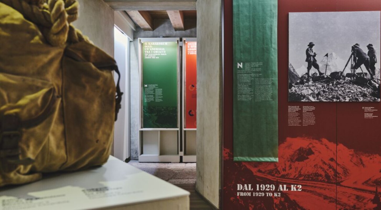
In 1929, an expedition led by Aimone di Savoia-Aosta set out to map the still unexplored valleys and glaciers of the Karakoram. The objective was not the summit, but knowledge: the Italian government, shaken by the disaster of the airship Italia commanded by Umberto Nobile, could not afford further risks. The mission thus became a monumental scientific undertaking, funded by the Municipality of Milan and the country’s leading geographical institutions.
The results were extraordinary: four detailed maps that remained the cartographic standard for the region for thirty years, later used by Ardito Desio as the basis for planning the 1954 ascent of K2. Yet this story remained largely unknown.
The exhibition is made possible by the donation of the Giuseppe Chiardola Collection—topographer and mountaineer of the expedition—which includes topographic maps, a personal album with 600 photographs, original instruments, and expedition equipment. These materials now also serve as scientific tools: the 1929 surveys provide an irreplaceable baseline for studying glacier changes and the global climate crisis.


