Val di Cembra and Pinè route
Race cycling • Trento, Monte Bondone, Valle dei Laghi, Valle dell'Adige
Val di Cembra and Pinè route
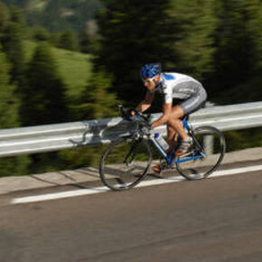
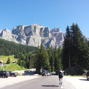
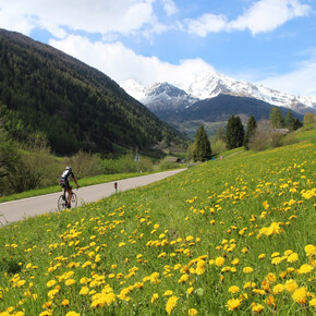
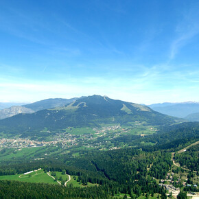
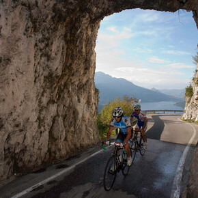
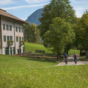
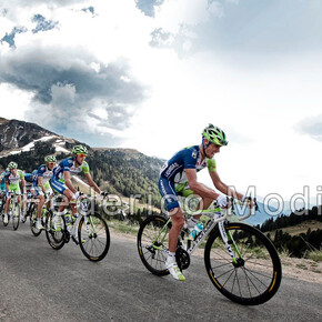
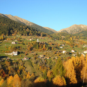
This route is well known among cyclists from Trentino who want to combine the beauty of the landscape by cycling through the vineyards of Val di Cembra and breathe a bit of the air of cycling champions like those of the Moser family and Gilberto Simoni. The route, starting from Trento, also crosses the Rotaliana plain, the Pinè plateau, and the upper Valsugana, ideal for discovering the central-eastern area of Trentino.
<p>A route that starts and ends in Trento crossing the hills above the Rotaliana plain, the Val di Cembra, the Pinè plateau, and the upper Valsugana. From a landscape perspective, the panoramas are very varied and different among the various valleys. The climbs faced are 4 and all are manageable even with a moderate fitness level as they are not very long. Also, the altitudes are not particularly high (all below 1200 m a.s.l.), which makes the route passable already from early spring with the first warmth and until late autumn. It is still recommended to have a good endurance, meaning having already done some long rides, since the route is almost 90 km long with an elevation gain of 1650 m. The iconic climb of this route is the "<a href="https://www.visittrentino.info/it/guida/sport-estate/salite-da-mito/campionissimi-pal-di-giovo_tour_18098915">salita dei Campionissimi</a>" which wants to recall the feats of the champions of the Moser family and Gilberto Simoni, all from Palù di Giovo, the village located at the top of this climb. Among the 4 ascents, the Sover climb also deserves mention, with an average gradient of 9%. </p>
Val di Cembra and Pinè route
VisitTrentino Verified partner
A route that starts and ends in Trento crossing the hills above the Rotaliana plain, the Val di Cembra, the Pinè plateau, and the upper Valsugana. From a landscape perspective, the panoramas are very varied and different among the various valleys. The climbs faced are 4 and all are manageable even with a moderate fitness level as they are not very long. Also, the altitudes are not particularly high (all below 1200 m a.s.l.), which makes the route passable already from early spring with the first warmth and until late autumn. It is still recommended to have a good endurance, meaning having already done some long rides, since the route is almost 90 km long with an elevation gain of 1650 m. The iconic climb of this route is the "salita dei Campionissimi" which wants to recall the feats of the champions of the Moser family and Gilberto Simoni, all from Palù di Giovo, the village located at the top of this climb. Among the 4 ascents, the Sover climb also deserves mention, with an average gradient of 9%.
VisitTrentino Verified partner
Derived from the technical difficulty and the stamina requirements.
Track types
Safety information
As you can imagine, the rideability of routes in a mountainous environment is strictly linked to the current conditions and therefore depends on natural phenomena, environmental changes, and weather conditions. For this reason, the information contained in this sheet may have changed. Before leaving, check the status of the route, verify weather reports, and get information at tourist offices.Coordinates
Equipment
The use of a helmet, sunglasses, specific cycling shorts, a waterproof jacket (in case of rain), a water bottle with water or isotonic solutions, and energy bars is recommended.Localization
Derived from the technical difficulty and the stamina requirements.


