Mendola route
Race cycling • Trento, Monte Bondone, Valle dei Laghi, Valle dell'Adige
Mendola route
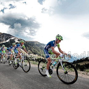
A route not to be underestimated for its almost 100 km and over 1500 m of elevation gain. The route is the training ground at home for all the champions coming from Val di Non, starting from former world champion Maurizio Fondriest to recent champions Gianni Moscon and Letizia Paternoster.
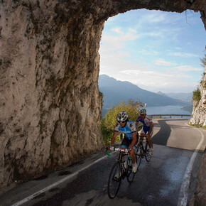
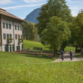
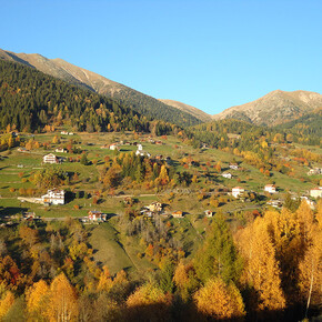
<p>Route starting from Mezzocorona and developed over 2 climbs both in Val di Non, the first is the Denno climb and the second is the <a href="https://www.visittrentino.info/it/guida/sport-estate/salite-da-mito/passo-mendola_tour_18098622">Passo Mendola</a>, one of the 23 legendary climbs of Trentino. The track embraces the two provinces of Trento and Bolzano and the landscape alternates between apple orchards, fir woods near Passo Mendola, and vineyards of the "wine road" in the Adige valley.</p>
Mendola route
VisitTrentino Verified partner
Route starting from Mezzocorona and developed over 2 climbs both in Val di Non, the first is the Denno climb and the second is the Passo Mendola, one of the 23 legendary climbs of Trentino. The track embraces the two provinces of Trento and Bolzano and the landscape alternates between apple orchards, fir woods near Passo Mendola, and vineyards of the "wine road" in the Adige valley.
Author’s recommendation
For those who haven't had enough elevation gain, it is possible to reach Monte Penegal by climbing the road on the left starting from Passo Mendola. You can find the specific description in the author's tips in the sheet for the legendary climb of Passo Mendola.
VisitTrentino Verified partner
Derived from the technical difficulty and the stamina requirements.
Track types
Safety information
As you can imagine, the passability of routes in a mountain environment is strictly linked to the current conditions and therefore depends on natural phenomena, environmental changes, and weather conditions. For this reason, the information contained in this sheet may have changed. Before leaving, check the status of the route, verify the weather reports, and get information from tourist offices.Roadbook
The starting point is fixed in Mezzocorona, central place of the Piana Rotaliana where the renowned red wine Teroldego is produced. The route starts following the right side of the Noce River along the old road up to the locality Rocchetta. Afterwards, you reach a fork and head towards Castel Thun until the fork that leads to Denno where the homonymous climb starts. The length of the ascent is about 4.3 km with an elevation gain of 230 m (average gradient 5%) and the landscape that characterizes it is the presence of cultivated apple orchards, whose fruit is a symbol of the entire Val di Non. Then you travel a slightly undulating route with climbs and descents crossing the municipality of Ville d’Anaunia, then reaching Cles, the capital of the valley. After passing through the town, you head toward the upper valley first going down to the Santa Giustina lake and then reaching the town of Revò, hometown of the champion Letizia Paternoster. Here it is worth taking a short break to admire the lake and the whole valley before continuing to Brez where officially the legendary climb to Passo Mendola starts, which is about 15 km long. Once at the pass, you dive down with an incredible view of the Adige valley until the fork towards Caldaro. From there, you follow the famous "Wine Road" running along the towns of Caldaro, Termeno, Cortaccia and Magré. Then you head towards the town of Salorno and before reaching it, join the cycle path along the Adige river for about 7 km until the bridge near the "La cacciatora" restaurant, which leads back to the starting point at Mezzocorona.
Ischia tiny lake
Ai Piani area
La Rocchetta Biotope
Canyon Rio Sass
Canyon Rio Sass
Macaion - Penegal - Roen
Mendelpass
Panoramic view Mendelpass
Panoramic view Mendelpass
Seestrasse
San Giuseppe Al Lago
Regenstein
Old Grapevine
Margreider Leitenweg
Stazio
Fiume Adige
Parcheggio Funivia
Coordinates
Equipment
Use of a helmet, sunglasses, specific cycling shorts, a waterproof jacket (in case of rain), a bottle with water or isotonic solutions, and energy bars is recommended.Localization
Derived from the technical difficulty and the stamina requirements.


