Val di Sole bike paths
Long distance cycling • Val di Sole
Val di Sole bike paths
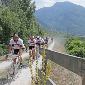
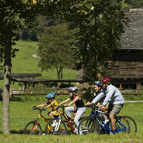
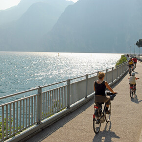
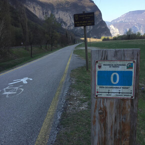
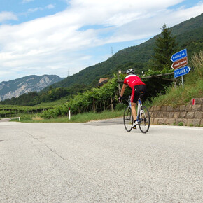
<p>The Val di Sole cycling path runs alongside the Noce river, where you can often spot rafting boats, kayaks, and canoes. The Val di Sole cycling path has an overall length of about 34 kilometres. It starts from the bridge in Mostizzolo, on the boundary with Val di Non, and leads to Cogolo di Peio, accompanied all the way by the Noce river. </p> <p>This trail allows you not only to enter the territory of Val di Sole and the wilder Val di Peio, but also the local mountain culture.</p>
Val di Sole bike paths
VisitTrentino Verified partner
The Val di Sole cycling path runs alongside the Noce river, where you can often spot rafting boats, kayaks, and canoes. The Val di Sole cycling path has an overall length of about 34 kilometres. It starts from the bridge in Mostizzolo, on the boundary with Val di Non, and leads to Cogolo di Peio, accompanied all the way by the Noce river.
This trail allows you not only to enter the territory of Val di Sole and the wilder Val di Peio, but also the local mountain culture.
VisitTrentino Verified partner
Derived from the technical difficulty and the stamina requirements.
Track types
Show elevation profileSafety information
Please note that the practicability of the itineraries in a mountain environment is strictly linked to the contingent conditions and is therefore influenced by natural phenomena, environmental changes and weather conditions. For this reason, the information contained in this page may have changed. Before leaving for a tour, make sure the path you will approach is still accessible by contacting the owner of the mountain hut, the alpine guides or the visitor centres of the nature parks, the info offices of the local tourist board.Public transport
The Trento Malé railway, which runs parallel to the cycling path, has numerous stations spread out along the route, making it an excellent way to make your way back to the starting point.Directions
Val di Sole can be reached from the south and from the north by National road 12 del Brennero, or motorway A22 (exit at San Michele all’Adige, distance from the toll gate 43 Km), taking the National road SS 43 first, and then turning onto SS 42 in the direction of Passo del Tonale. Otherwise, in the east-west direction, along the Milano-Venezia motorway: exit at Brescia, and then continue in the direction of SS 237, or exit at Bergamo and follow SS 42.Coordinates
Derived from the technical difficulty and the stamina requirements.


