Valle dell'Adige Nord Cycling Path
Long distance cycling • Trento, Monte Bondone, Valle dei Laghi, Valle dell'Adige
Valle dell'Adige Nord Cycling Path
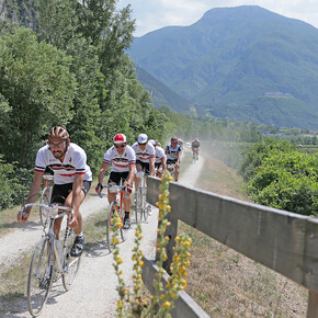
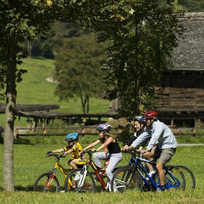
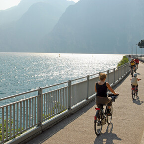
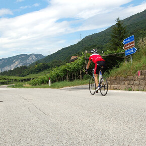
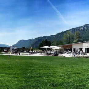
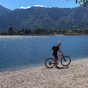
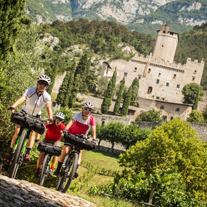
<p>A bike ride that runs through the heart of Trentino, connecting the province of Bolzano with the province of Verona. 98 kilometres along the Valle dell’Adige, alongside the river and crossing the entire province of Trento from north to south.</p> <p>This is the longest cycling route in the Trentino cycling network, and it is packed with landscapes with the ancient history of a borderland. Pages of a history that plays out among the precious land cultivated with vineyards and fruit orchards, with hard-working villages where time seems to have stood still. The cycling path is protected from traffic for almost the entire length of the route, and uses old river bank roads, crossing fruit orchards and vineyards. The road is flat, the cumulative elevation gain hardly reaches a hundred metres. For this reason, it is even suitable for children.</p>
Valle dell'Adige Nord Cycling Path
VisitTrentino Verified partner
A bike ride that runs through the heart of Trentino, connecting the province of Bolzano with the province of Verona. 98 kilometres along the Valle dell’Adige, alongside the river and crossing the entire province of Trento from north to south.
This is the longest cycling route in the Trentino cycling network, and it is packed with landscapes with the ancient history of a borderland. Pages of a history that plays out among the precious land cultivated with vineyards and fruit orchards, with hard-working villages where time seems to have stood still. The cycling path is protected from traffic for almost the entire length of the route, and uses old river bank roads, crossing fruit orchards and vineyards. The road is flat, the cumulative elevation gain hardly reaches a hundred metres. For this reason, it is even suitable for children.
VisitTrentino Verified partner
Derived from the technical difficulty and the stamina requirements.
Track types
Show elevation profileSafety information
Please note that the practicability of the itineraries in a mountain environment is strictly linked to the contingent conditions and is therefore influenced by natural phenomena, environmental changes and weather conditions. For this reason, the information contained in this page may have changed. Before leaving for a tour, make sure the path you will approach is still accessible by contacting the owner of the mountain hut, the alpine guides or the visitor centres of the nature parks, the info offices of the local tourist board.Directions
Motorway A22 del Brennero (Exit at Trento Nord), National road 12 dell’Abetone e del Brennero from Verona or Bolzano. National road 47 (Superstrada della Valsugana) for those coming from Venice, and National road 45 bis della Gardesana Occidentale for those coming from Brescia and Lake Garda.Coordinates
Derived from the technical difficulty and the stamina requirements.


